Jump to navigation
Items
Pages
-

-
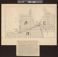
Contour map of the Lake Merced properties showing improvements
-

-
Map of old San Francisco circa 1854
-

-
San Francisco Chinatown and environs
-

-
Map of the Evoy Tract, Oakland, Alameda County, California
-
-
Map of Union City, New Haven and the two Alvarados
-

-
Map of the copper region of Del Norte County, California
-

-
Map of a part of Kern County
-

-
Map of northern Humboldt County, California
-

-
Map of wagon road route from Placerville to Carson valley
-

-
General map of the Spring Valley Water Works
-
-
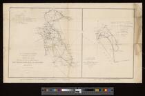
Sketch J, no. 6 showing the progress of the survey of San Francisco Bay and vicinity, section X from 1850 to 1853 ...
-
-
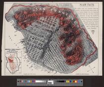
Burned district San Francisco
-

-
Map of California Pacific Railroad
-

-
Route map of the San Francisco-Sacramento Railroad Company
-

-
Topographical map showing the locations of the Sutro Tunnel and the Comstock Lode
-

-
Map of portions of the Rancho Monte del Diablo
-

-
Map of Bodie Mining District, Mono Co., Cal
-

-
County of Siskiyou, California
-

-
Topographical map of Contra Costa County
-

-
Map of the New York Mine, Greenville, Plumas Co., Calif
-

-
Map of Contra Costa & Alameda counties, Cal
-

-
Official map of Bodie Mining District
-

-
Map of Lake Mining District, Mono County, California
-

-
Map of Kern County, California
Pages
